-40%
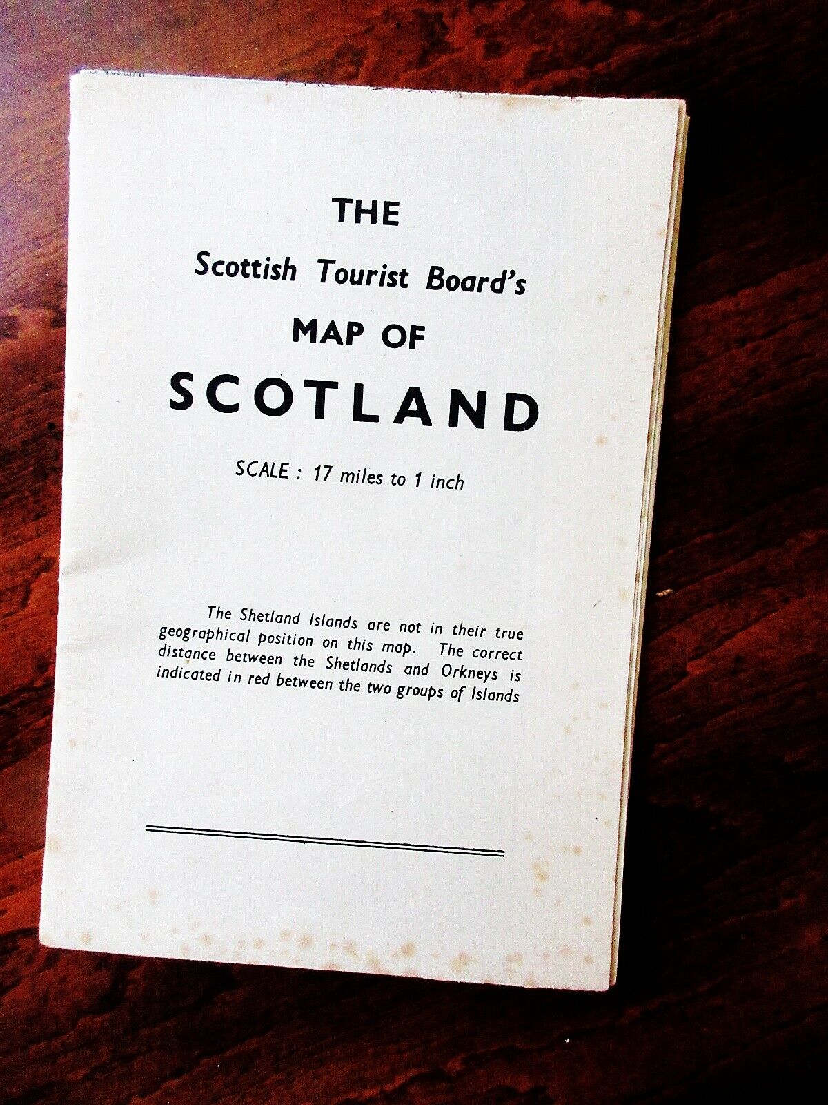
Nice Vintage Tourists' Road Map of Scotland Including the Isles ca 1940s
$ 5.28
- Description
- Size Guide
Description
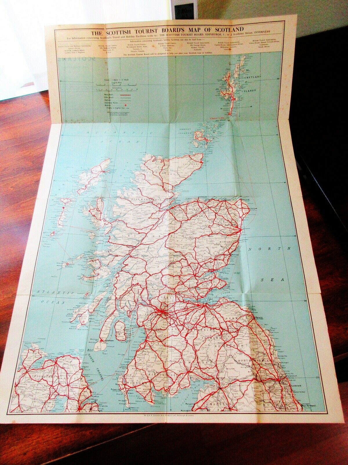
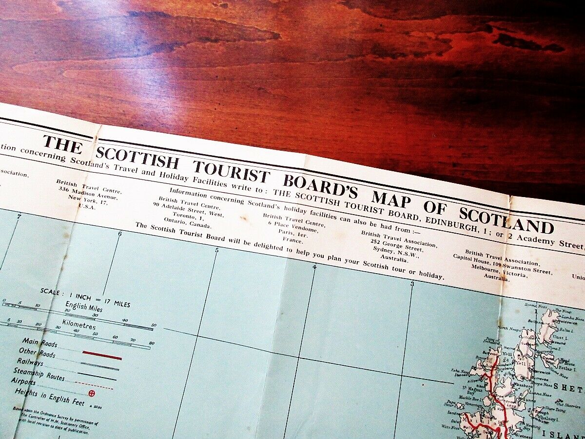
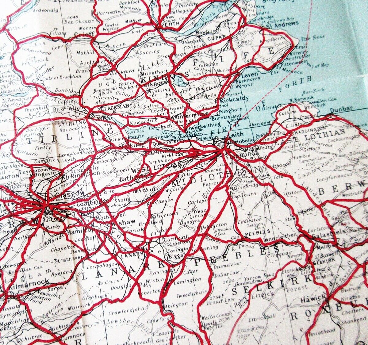
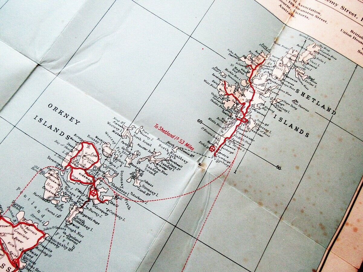
Description:A colorful mid-century ( 1940s ) map from the Scottish Tourist Board showing all roads, railways and towns in Scotland and the Western and Northern Isles.
Nice 80-year- old condition, no fading, no writing, tiny tears or pinholes where the folds cross, light foxing mostly on back panel, clean. 26 1/2" X 18" and 1"=17 miles scale. A sweet old thing that would be lovely framed, if you especially have great memories of the country.
Payment:
Payment is required within two days of purchase.
Sales Tax
:
By law,
eBay collects sales tax from residents of some states. We sellers have no say in the matter.
Posting:
I ship on the same day that I receive payment.
US traders only. I no longer ship internationally.
Returns:
If you have concerns about your purchase, please click on the "Contact Seller" link for immediate attention.
